WorkshopsLower Kiev

Description

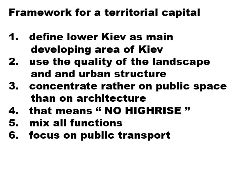
Framework for a territorial capital

  • Program
    Living, work environment, cultural facilities
  • Client
    CANactions 2010
  • Team
    Theo Hauben
    Jeroen de Willigen (DeZwarteHond)
    Matthias Rottmann (DeZwarteHond)
  • Collaboration
    Wouter Rooijackers, Ivan Malinka, Anton Oliynyk, Katryna Babushkina, Vladimir Konovalov
  • Location
    Kiev (Ukraine), City Center
  • Area
    10000000 m2
  • Date
    2010-04-25
  • Website

The successful cities and regions in Europe are grafted onto their history. The cities and regions that have further developed their core qualities are now internationally strong. Within each regional, social-economic structure lie realistic opportunities for regeneration and a link with future spatial developments is possible. Each region has its own specific territorial capital, distinct from other areas. Territorial capital is a wide-ranging concept: it not only covers location factors, climate and natural resources, but also customs, social contacts and “something in the air”. By closely connecting the city’s new economic, social and spatial developments with the territorial capital of the region, the qualities and potential of the areas can be utilised efficiently.

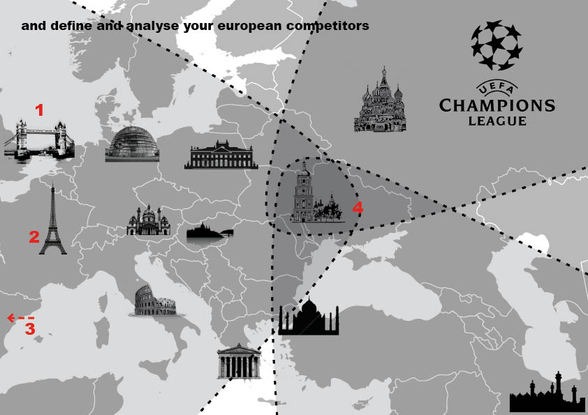
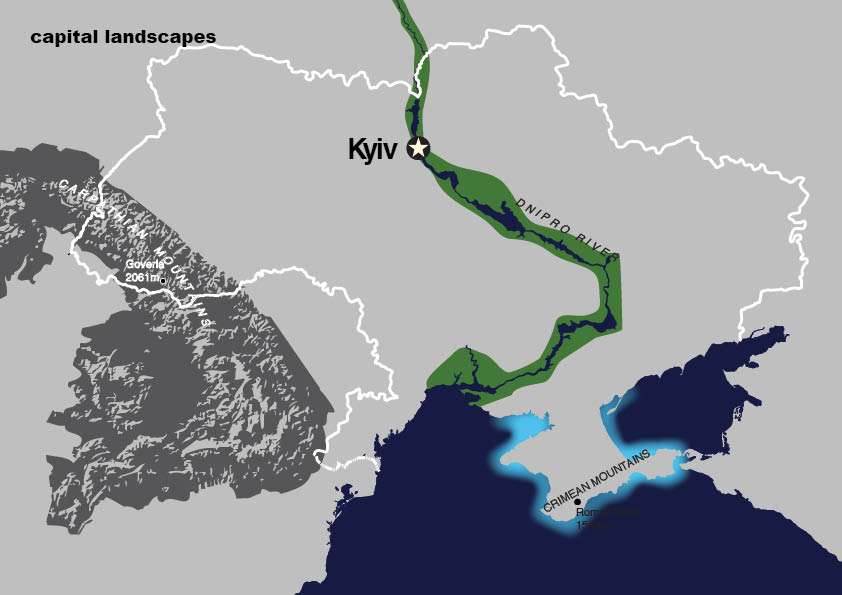
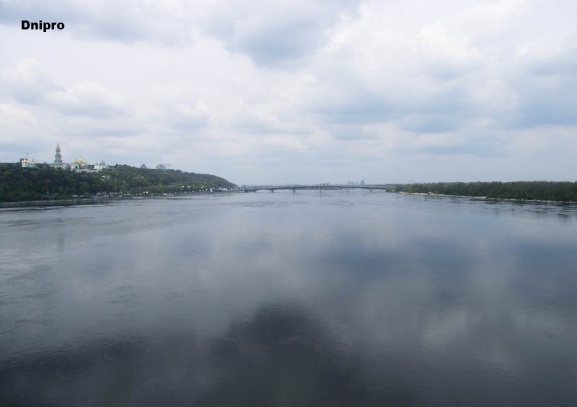
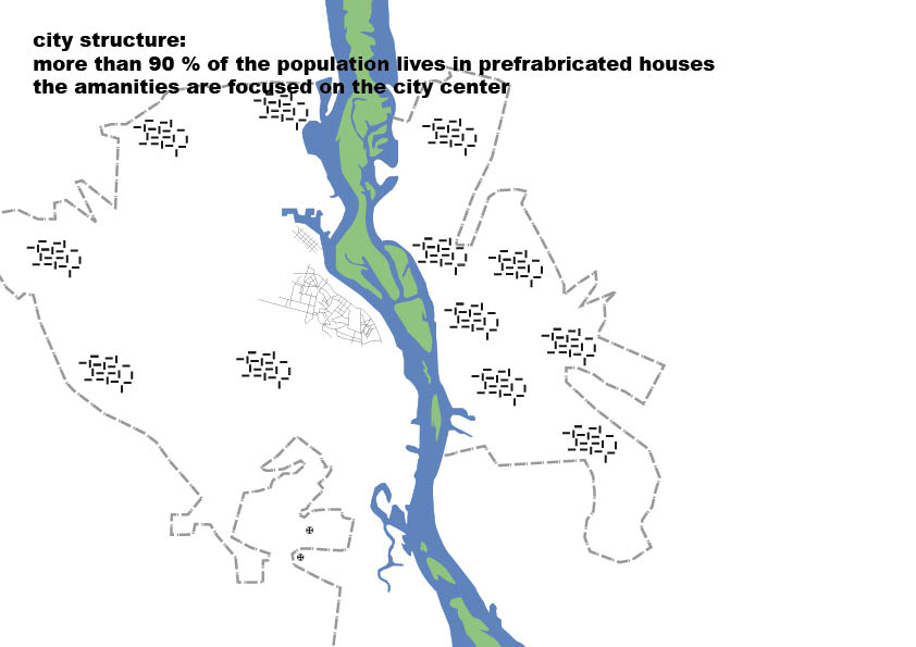
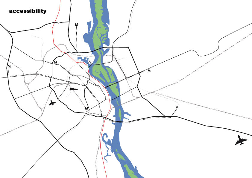
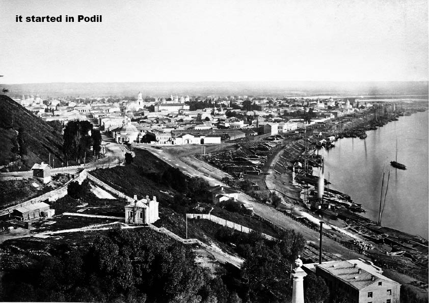
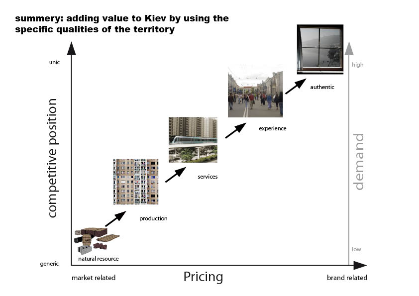
In order to become a distinctive city, Kiev should create a distinct profile for itself using the specific characteristics that it has in its territory. Kiev’s exceptional qualities form the basis for a territorial capital: the old centre (Podil), international events (Euro 2012, Cultural Capital 2024), international access (airport) and the presence of a capital landscape (the river landscape of the Dnjepr). Reappointing and revaluing the spatial qualities, and subsequently developing the city on the basis of the existing urban structure, will create a less arbitrary and more enduring structure for the city.

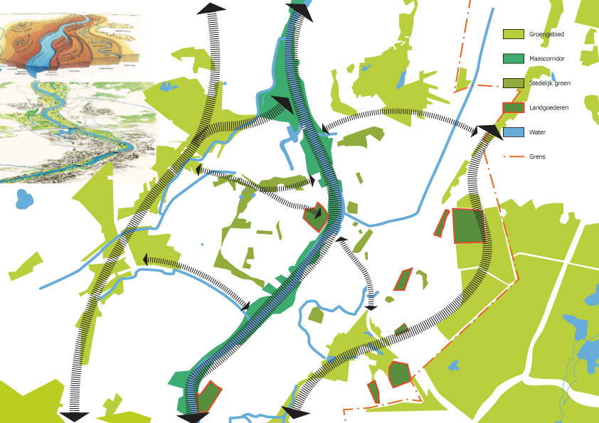
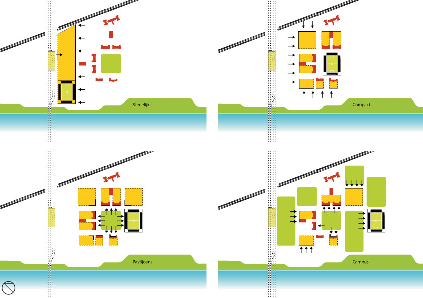
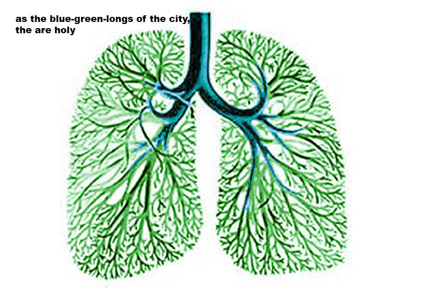
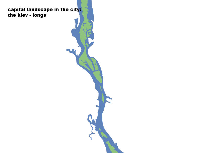
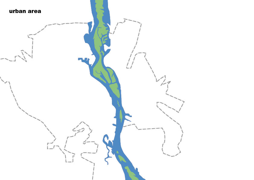
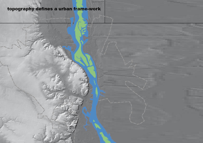
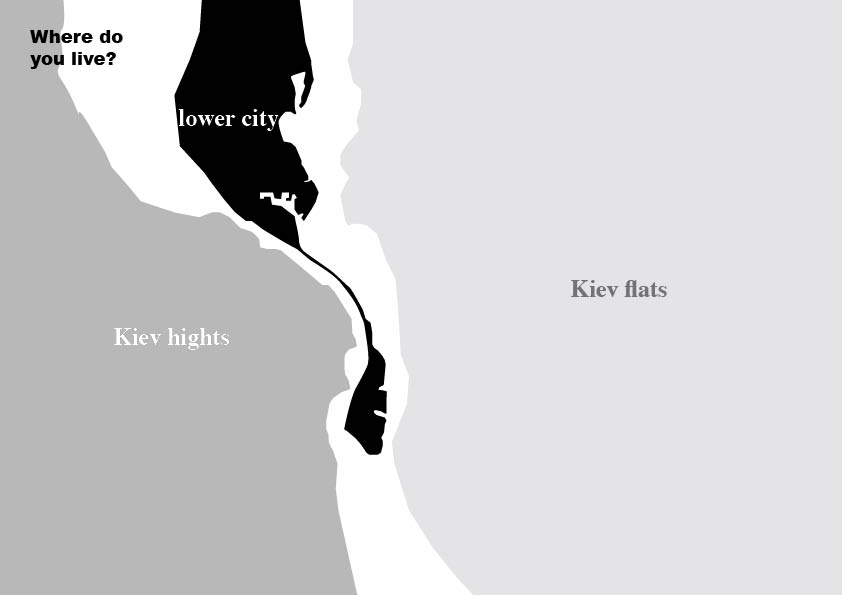
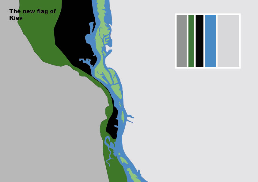
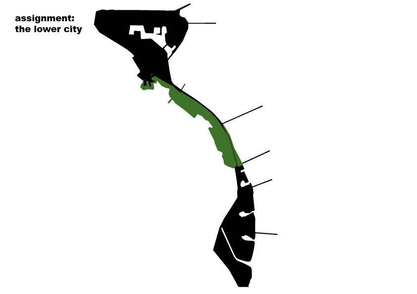
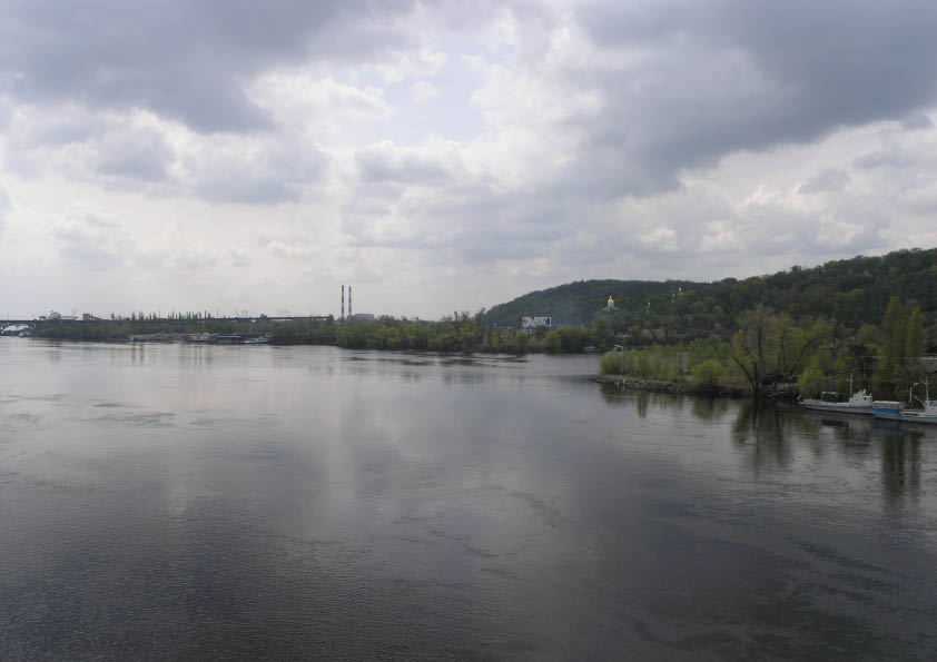
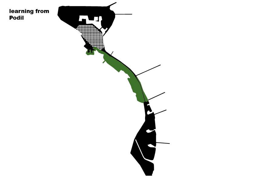
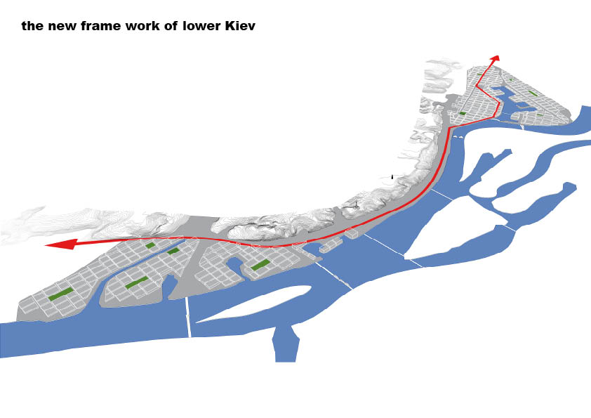
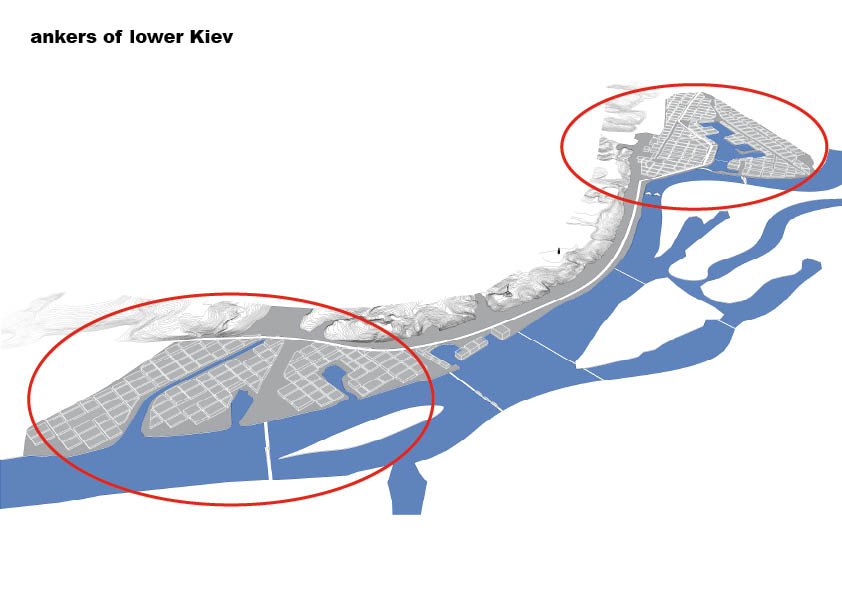
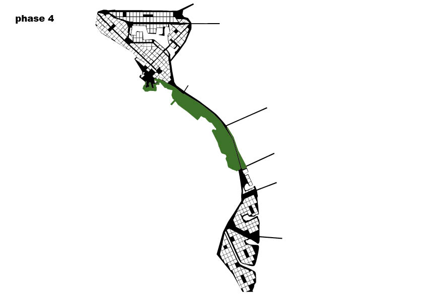
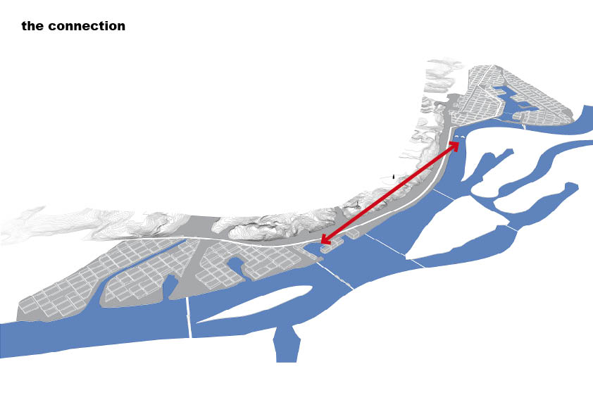
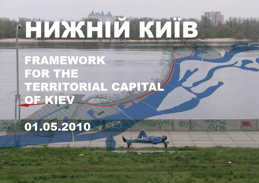
Based on the city’s topography we designate three new urban areas (Kiev Heights, Lower Kiev and Flat Kiev). These areas are separated by two green territories (Greenbelt and Dnjepr). The Lower Kiev urban area, situated between the city parks in the Greenbelt and the river landscape of the Dnjepr with its green recreational islands has, in our opinion, the greatest potential for a qualitative development. The qualities of Kiev’s territorial capital are already present or can be developed here successfully.

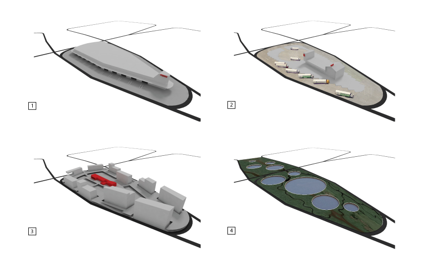
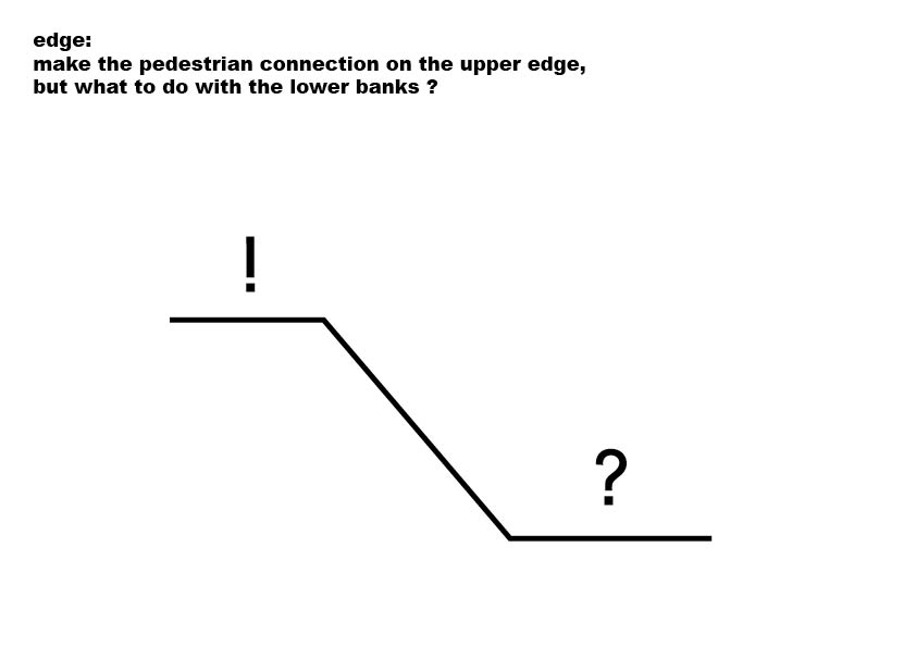
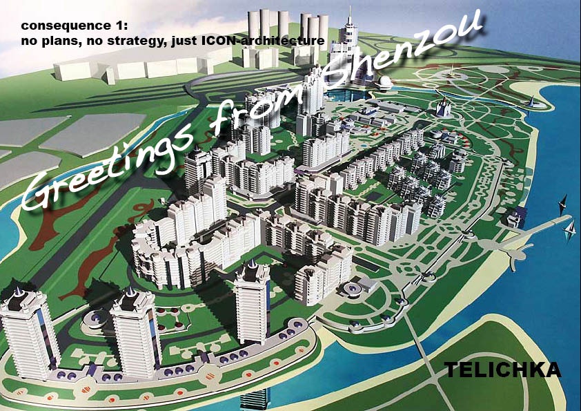
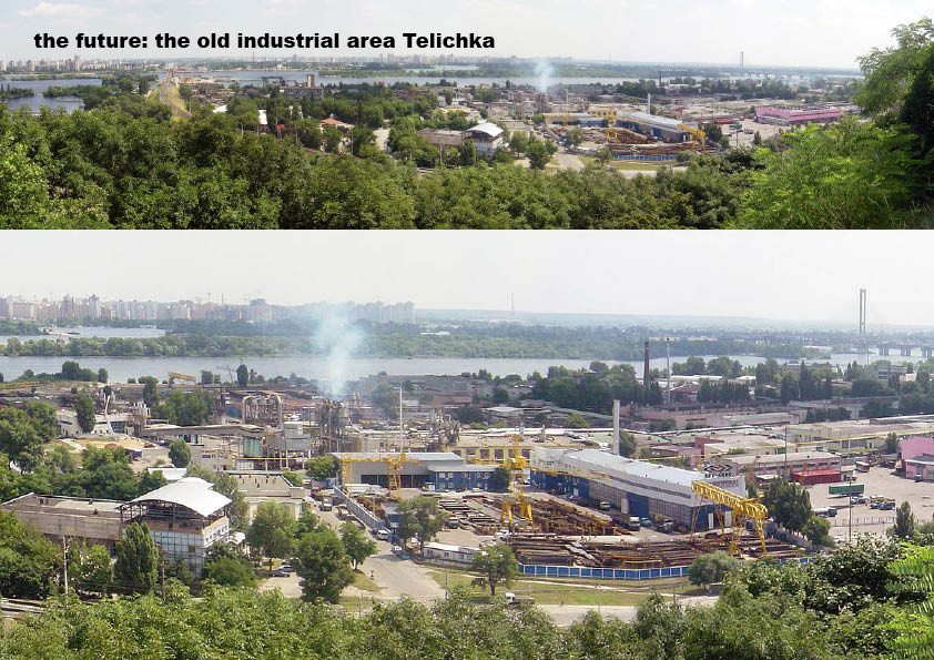
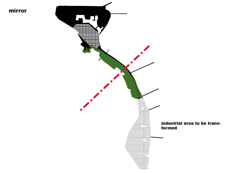
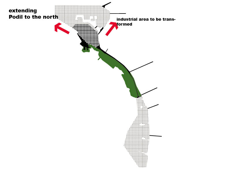
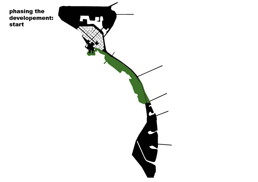
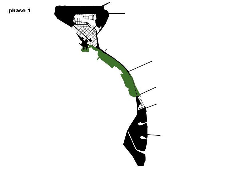
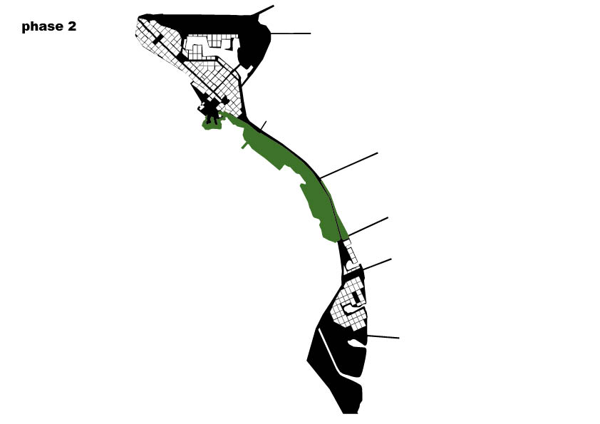
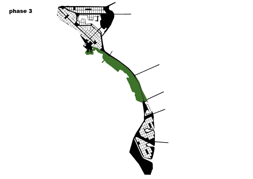
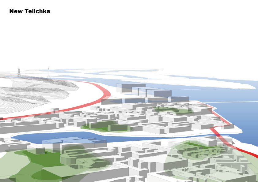
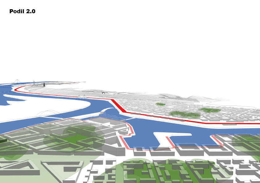
The northern part of Lower Kiev is formed by Podil, an old, lively urban district with a mix of buildings and functions. To a large extent, Podil is surrounded by outdated harbour industry. The southern part of Lower Kiev, Telichka, is mainly an abandoned industrial area. Relocating the remaining heavy industry will create space for new developments and will also improve the living environment in the city. The urban grid of Podil forms the point of departure for the further development of the whole of Lower Kiev. The old harbour area adjacent to Podil and the old industrial area of Telichka will be transformed in phases. Podil will then be entirely situated along the harbour and in Telichka there will be space for mixed residential and work environments supplemented with functions that have international appeal. In the run-up to Cultural Capital 2024 a large concert hall is quite conceivable.

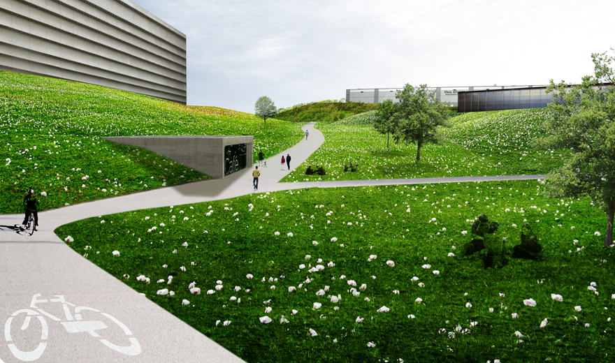
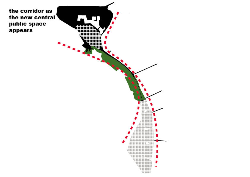
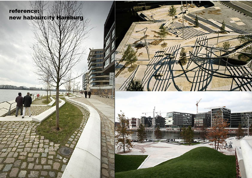
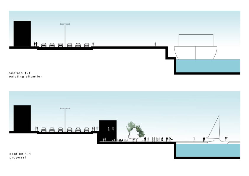
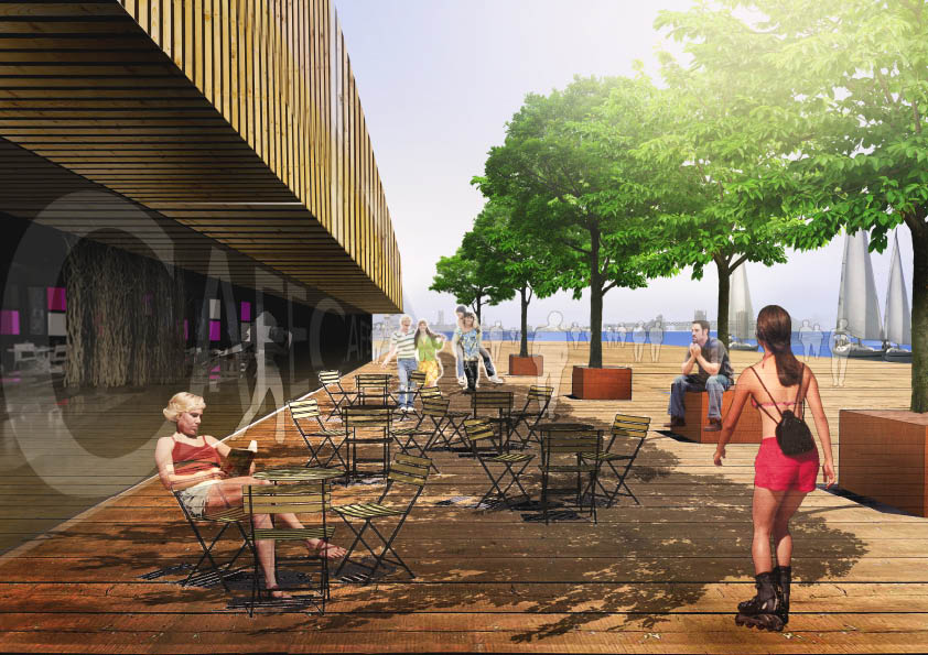
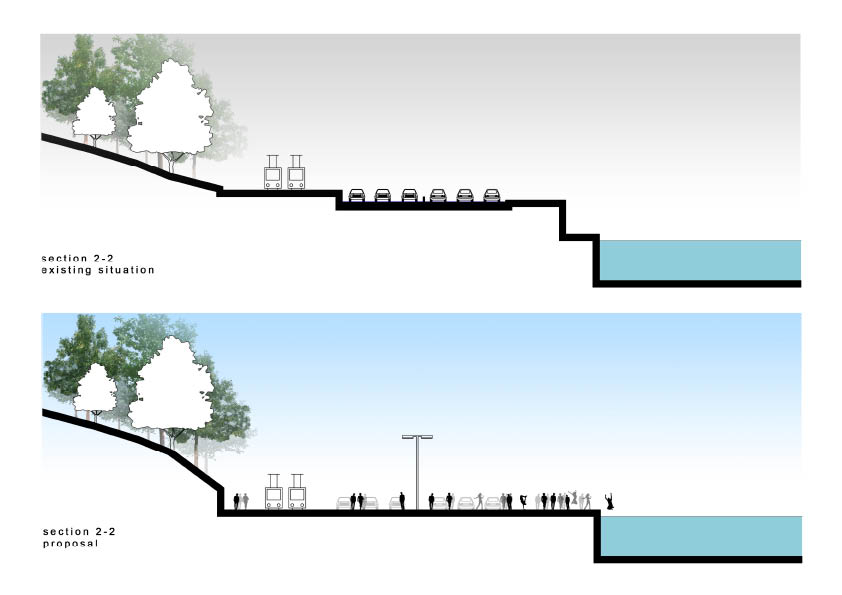
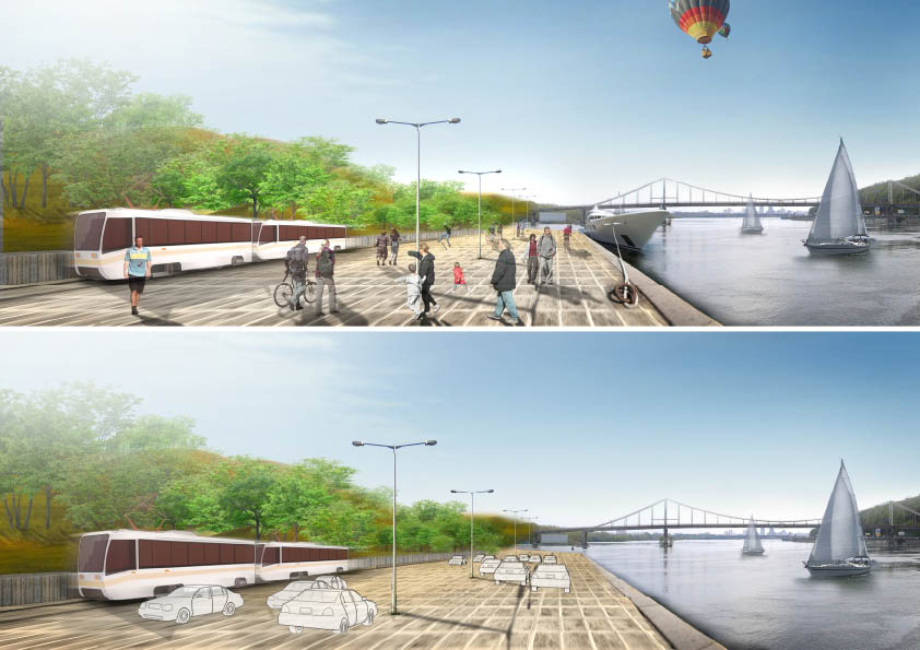
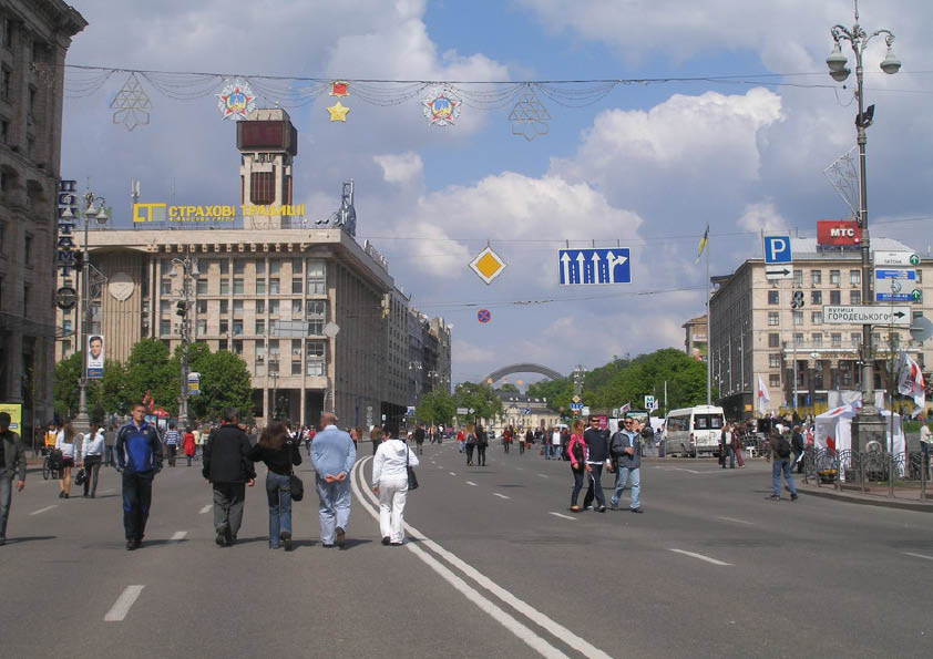
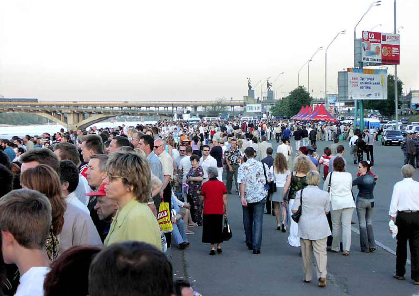
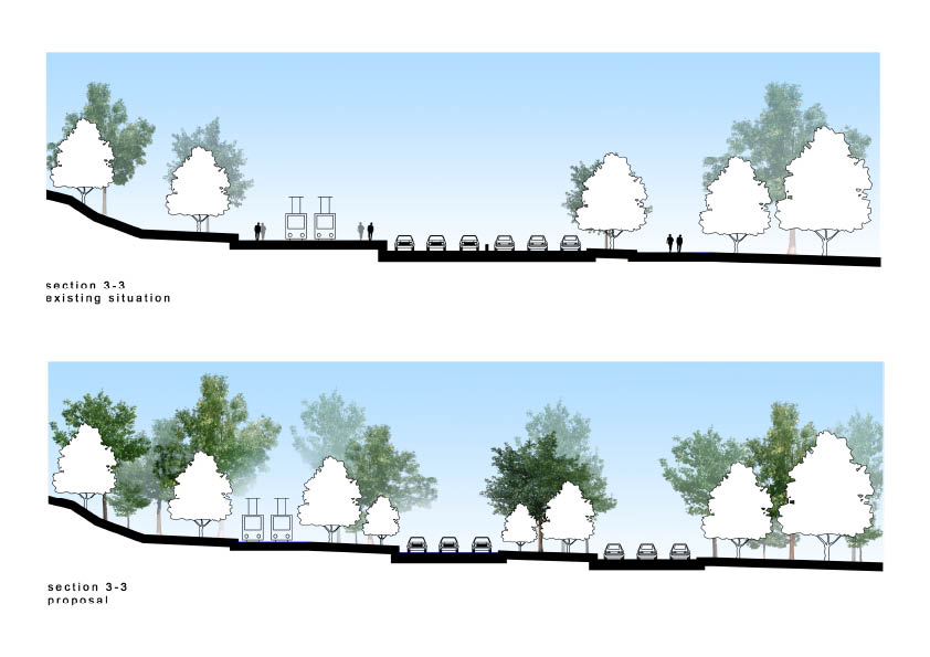
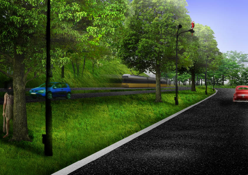
New public space will be defined in between the harbour and industrial area that is crucial for the development of Lower Kiev. The existing motorway along the water, Naberezhen Shose, will be transformed into a boulevard. The car will become a major component of the public space but the quality of facilities for pedestrians has the highest priority. Upgrading the existing tramline will connect Podil and Telichka quickly and efficiently. The stringent application of infrastructure to the ground level precludes expensive technical solutions. This means that property developments along, on or under Naberezhen Shose are spatially and financially less logical. In addition, this low-key solution safeguards the green slope – the age-old view of Kiev.
PressHet gat tussen stedebouw en projectrealisatie

Description

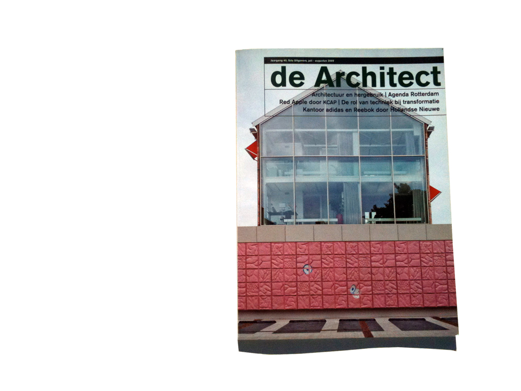
Interview met generatie 3.0 | De Architect jul/aug 09

  • Team
    Theo Hauben
  • Date
    2009-07-00
  • Publisher
    De Architect, Sdu uitgevers
  • Author(s)
    H. Tilman
  • Website

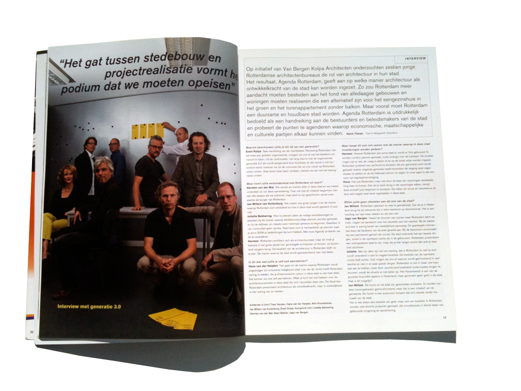
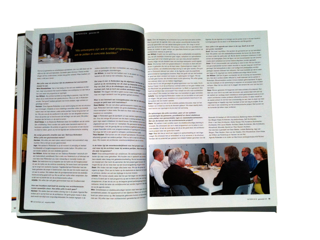
Interview with a few menbers of Agenda Rotterdam.

Download Agenda Rotterdam: PDF

PublicationsAgenda Rotterdam

Description

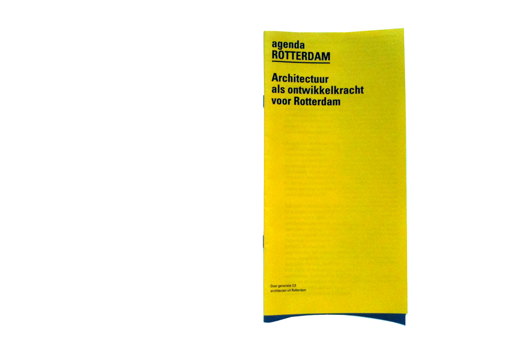
Architectuur als ontwikkelkracht voor Rotterdam

  • Client
    Self-initiated
  • Team
    Theo Hauben
  • Collaboration
    Bekkering Adams Architecten, Van Bergen Kolpa Architecten, Biq Stadsontwerp, DaF-Architecten, Drost + van Veen Architecten, Atelier Kempe Thill, Korteknie Stuhlmacher Architecten, Krill, Laura Weeber Architect, Made Architecten, Mei Architecten, Monadnock
  • Date
    2009-06-09
  • Editors
    Van Bergen Kopa architecten
  • Author(s)
    Agenda Rotterdam

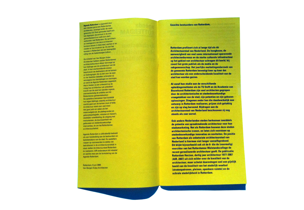
Agenda Rotterdam is prepared by a new generation of Rotterdam architects, united under the name Generation 3.0. This generation work the last decade in the city and feels a strong connection with Rotterdam. The founders and principals of the architectural offices are living in this town, working there and educate their children. They see building in Rotterdam as an important expression of contemporary culture.

Download Agenda Rotterdam: PDF (Text in Dutch)

DesignsLeisure barracks

Description

Research location barrack area Venlo

  • Program
    Football stadium, exhibition- congress- and event center, casino, nightclub, hotel and parking
  • Client
    Municipalitie of Venlo (delegated client Investeren in Ruimte)
  • Team
    Theo Hauben
    Marco Vermeulen
    Mario Casciu
    David Dooghe
    Thijs van Spaandonk
  • Collaboration
    Investeren in Ruimte, RBOI
  • Location
    Venlo, Garnizoenweg
  • Area
    196400 m2
  • Date
    2008-11-25

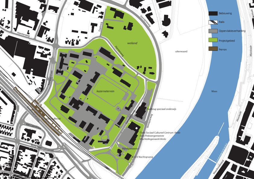
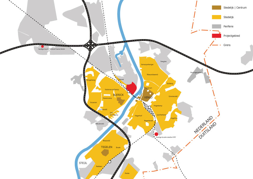
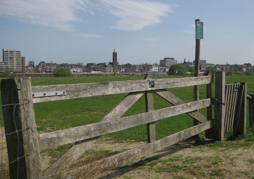
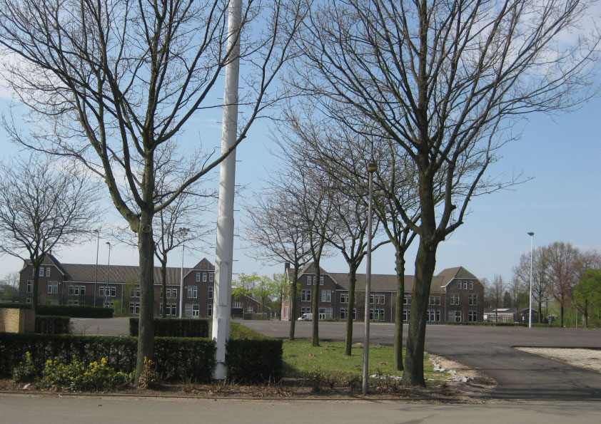
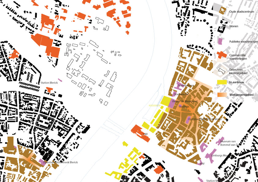
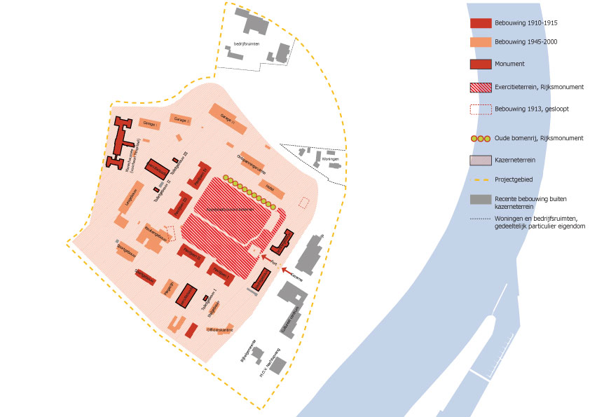
Sinds de Frederik Hendrikkazerne in 2003 is verlaten door Defensie heeft Venlo de beschikking over een strategisch stuk stad direct tegenover het centrum aan de overkant van de Maas. Het Kazerneterrein is het omheinde terrein aan de Kazernestraat, Horsterweg, Garnizoenweg en het spoorwegtracé ter hoogte van station Blerick.

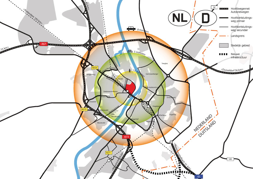
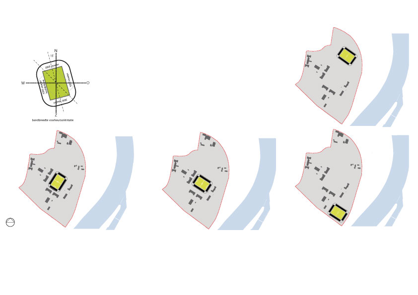
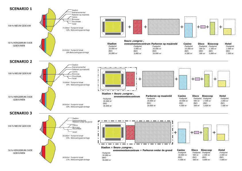
Uitgangspunt van de ruimtelijke verkenning zijn nieuwe leisure- en pleasurevoorzieningen in het Kazernegebied. Een belangrijke functie is een nieuw voetbalstadion aangevuld met faciliteiten voor beursen en congressen, een casino, een (mega)bioscoop, een discotheek en een hotel. Deze activiteiten vormen samen een multifunctioneel complex dat uit één of meerdere gebouwen kan bestaan. Dat is echter niet de enige ambitie die we aan dit gebied mee kunnen geven. Naast een programmatische functie van leisure en zijn er ook ruimtelijke en stedenbouwkundige ambities te noemen. Zo ligt er nu de kans het herontwikkelde kazernegebied als een complementair element vorm te geven aan de andere zijde van de Maas, het kazerneterrein als tegenwicht tot de Venlose binnenstad. Een weerwoord aan de andere zijde van de Maas. Een derde belangrijke kans die ligt in de herontwikkeling van het kazerneterrein is het beter naar voren brengen van Venlo als vestingstad. Deze ambitie is al eerder uitgesproken in de Stadsvisie. Venlo was een vestingstad waarvan in de tegenwoordige tijd weinig herkenbare elementen terug te vinden zijn. Hier kan een kans liggen om hier verandering in te brengen.

DesignsGenealogy of the Klavertje

Description

Elaboration of spatial typology for a C2C shell

  • Program
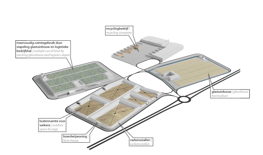
    (logistics) business park, glasshouse horticulture, pig farm, infrastructure
  • Client
    Province of Limburg, GOB, Municipalities of Venlo, Horst aan de Maas, Sevenum en Maasbree
  • Team
    Theo Hauben
    Marco Vermeulen
    Mario Casciu
    Thijs van Spaandonk
    David Dooghe
  • Collaboration
    VHP
  • Location
    Venlo, Horst, Sevenum, Maasbree
  • Area
    562000 m2
  • Date
    2008-09-30
  • Website

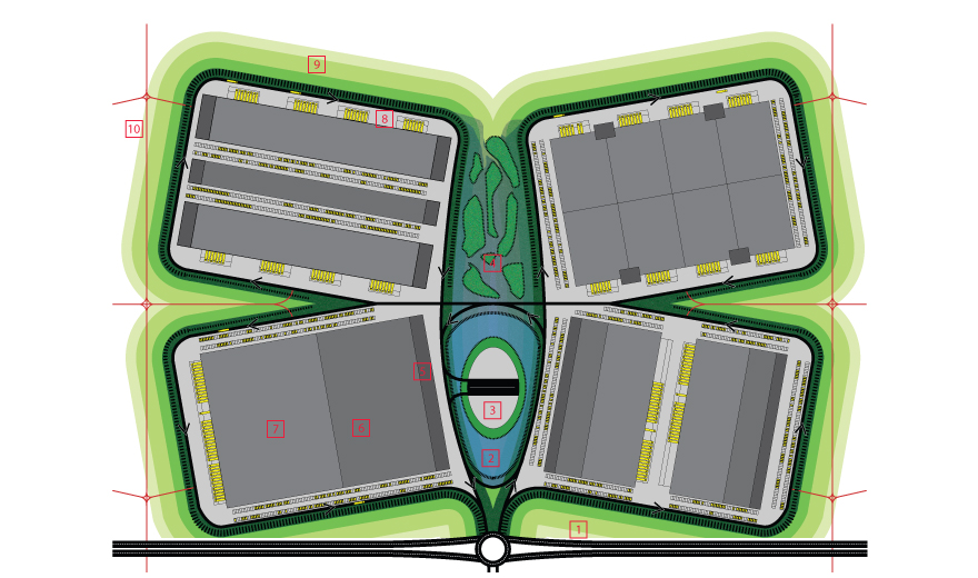
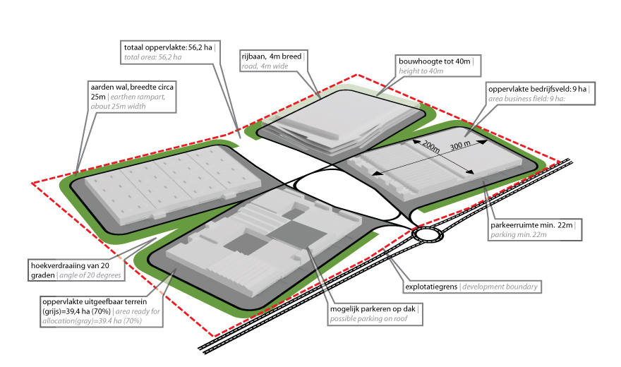
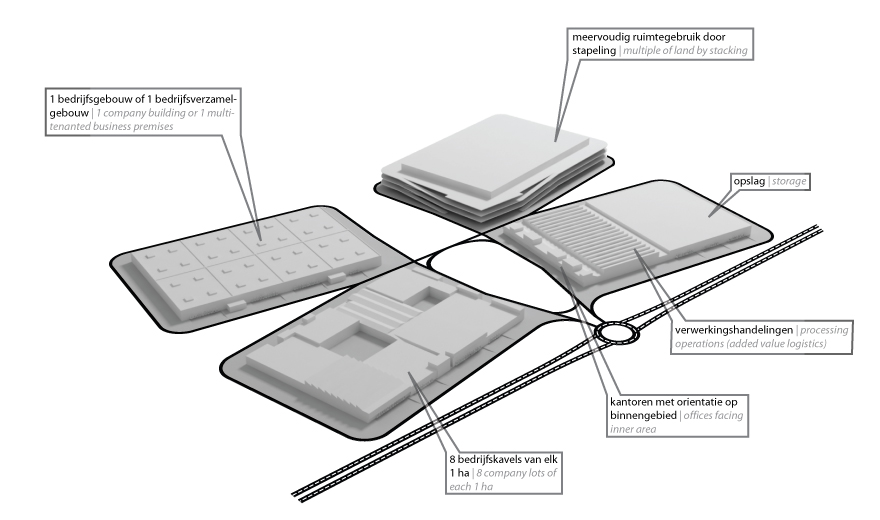
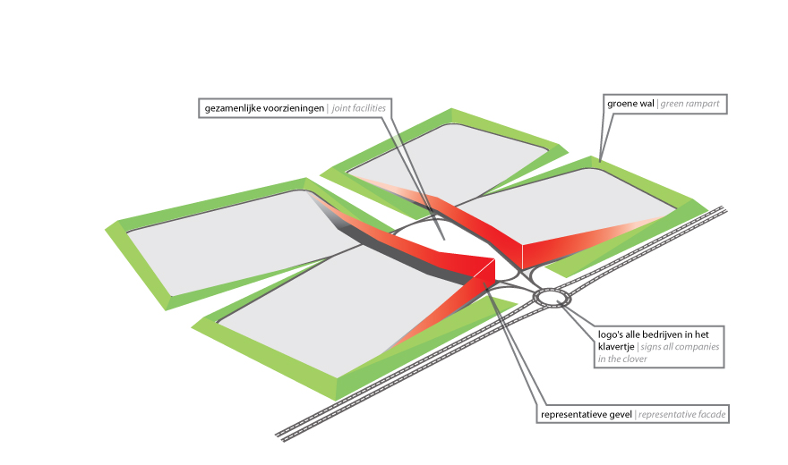
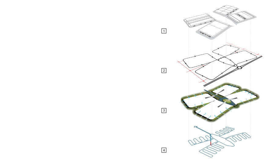
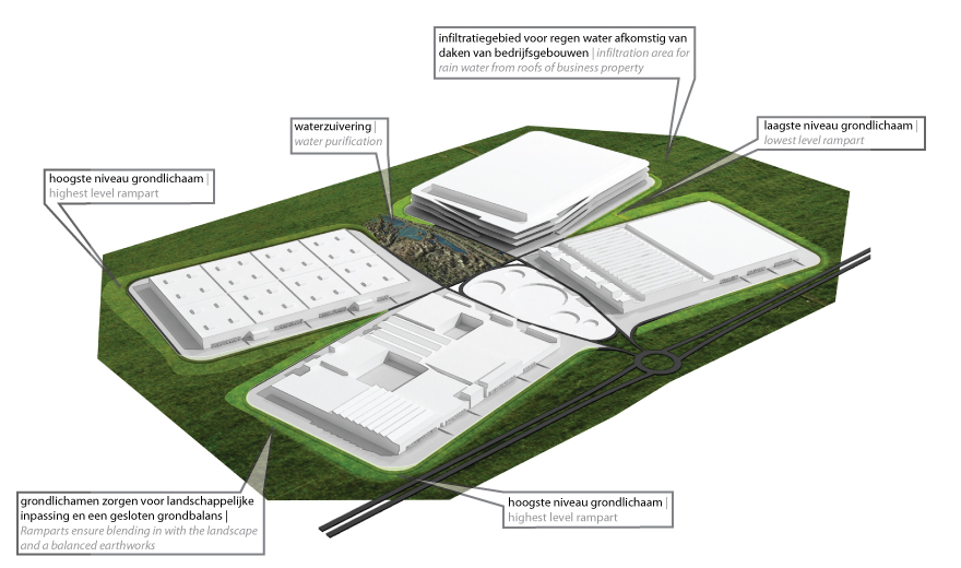
In the Master Plan Klavertje 4, Spatial Design for the Cradle to Cradle (C2C) worklandscape for Greenport Venlo, the "clover" is the building block which can be deployed at a concrete scale level for the C2C objectives for the area in its entirety. The clover configuration as a spatial principle constitutes a strong logo (image) which companies can identify with and advertise. Yet the choice of the recognisable clover configuration is predominately determined by the spatial qualities. After extensive study into the possible configurations for the extremely large units that the logistics sector brings with it (halls tens of thousands of square metres in size) the configuration of a clover appears to form a good basis for spatial quality and for the application of C2C principles. These C2C principles include making the worklandscape as self-sufficient as possible as regards energy and water, the efficient flow of traffic and the creation of an attractive working environment. The clover offers possibilities for all these aspects in an integral design in which sub-solutions for water, energy and traffic reinforce each other. The clover in fact forms the C2C-shell at the urban configuration micro-scale and provides the facilities that make it possible to make companies that locate here C2C-proof. The objective of this study is to make explicit what the core values of the clover are and to clearly define where the limits of flexibility lie.

The most important qualities and characteristics of a clover are:
* A clover in principle comprises four, but a minimum of three and a maximum of six, business fields (clover leaves).
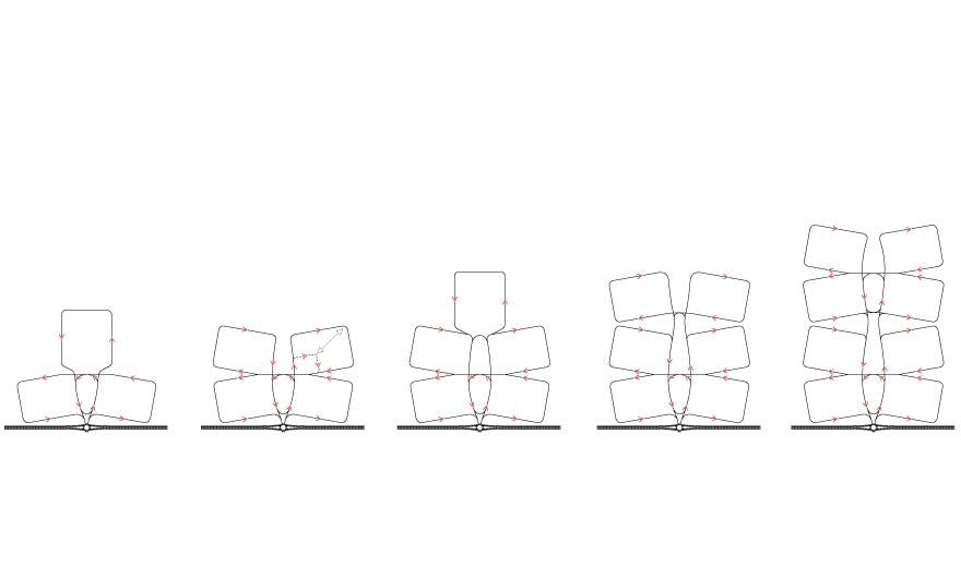
* A clover leaf is preferably rectangular and comprises a ready-for-allocation plot approximately 260 metres in breadth (logistics nave).
* The clover leaves are bordered by one-lane, one-way roads that, together with a central ring road, form the one-way traffic system of the clover.
* The clover leaves are arranged round an attractive central residential area with special functions such as shared facilities.
* The clover leaves are positioned at approximately a 20-degree angle to each other thereby creating wedge-shaped interspaces that open towards the landscape.
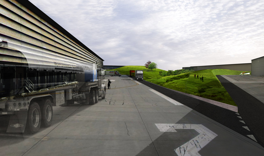
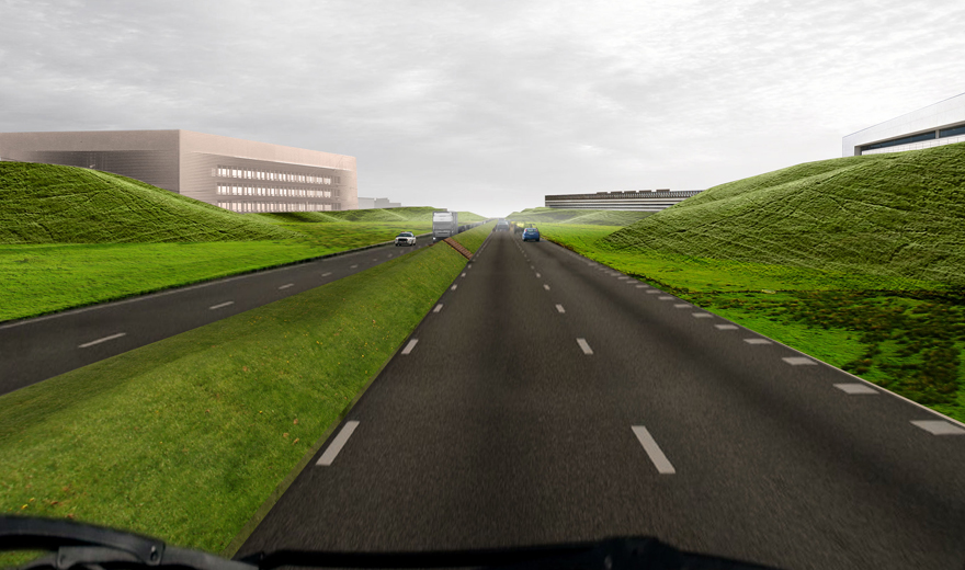
* The clover is bordered by bodies of soil creating balanced earthworks and embedding the clover in the landscape.
* In the clover, multifunctional land use is maximal.
* In the clover, colour application of the development is extremely limited.
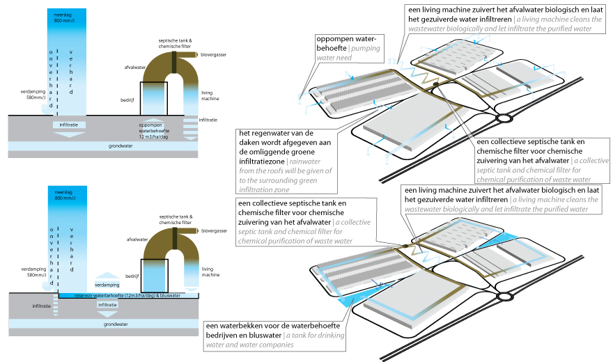
* The clover is as self-sufficient as possible as regards water and it is not connected to the drinking-water supply.
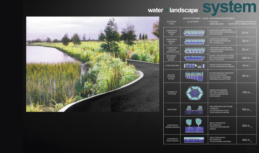
* The clover purifies its own drinking water and it is not connected to the sewerage system.
* The clover is as self-sufficient as possible as regards energy and it makes no use of fossil fuels.
* In the clover the (building) materials and residues are recycled to a maximum.